


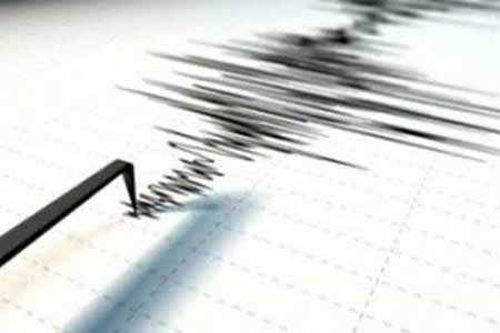
ArmInfo.Two earthquakes occurred in Armenia with an interval of three hours.
So, according to the message of the Ministry of Emergency Situations of the Republic of Armenia, received by ArmInfo, the first shocks were recorded by the seismological network of the territorial seismic protection service of the MES of Armenia on January 18 at 05:28 local time (at 01:28 GMT). The coordinates of the earthquake are 40.95 + north latitude and 43.99 + east longitude -, 10 km. south-east of the village of Ashotsk, Shirak region of RA.
According to the source the epicenter of the earthquake is at a depth of 10 km, magnitude 3.6. The strength of tremors at the epicenter was 4-5 magnitude. The earthquake was felt in the city of Spitak, the settlements of Artagyuh and Shirakamut of the Lori region and the city of Gyumri, the villages of Djhadjhur and Ashotsk of the Shirak region.
The second push was recorded on January 18 at 08:20 local time (at 04:20 GMT). The coordinates of the earthquake are 40.930 + north latitude and 44.030 + east longitude, - 19 km. south-east of the village of Ashotsk, Shirak region of RA. The epicenter of the earthquake is at a depth of 10 km., Magnitude 2.4. The strength of tremors at the epicenter was 3 magnitue. An earthquake was felt in Gyumri and the village of Zorashen.


 Iranologist: Baku`s propaganda of might masks the country`s inability to provide water to its own population
 Analyst: Continued tensions between Yerevan and Moscow could entail new restrictive measures from Russia
 Political analyst: Russia intends to determine which "Camp" Armenia will choose through a referendum
 Armenia and France discuss further development of strategic partnership and EU cooperation
  To overcome risks Armenia must reduce domestic escalation - expert
  Zatulin: Pashinyan was eager to get back to Russia because he actually lost the elections
 Pashinyan removed from INNOPROM guest list
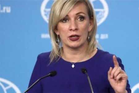 Zakharova: Armenia`s pro-EU pivot poses economic security risks to EAEU member states
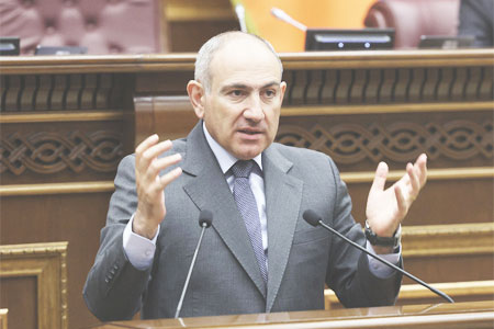 It`s time for South Caucasus countries to think of South Caucasus as single, unified region - RA premier
  Pashinyan: Armenia and Azerbaijan should leave each other alone
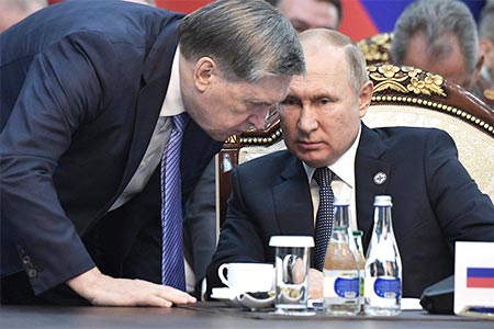 Moscow sees situation with Armenia as attempt to attack Russia-involving integration associations - Russian presidential aid
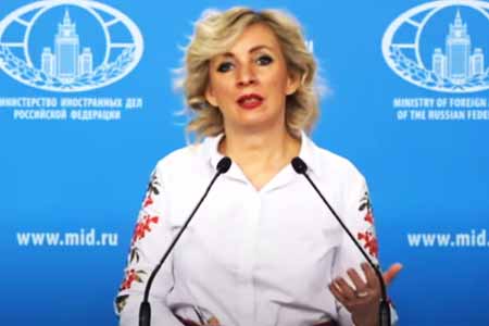 Zakharova: Armenia views relations with Russia as tool for financially securing reorientation toward EU
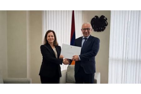
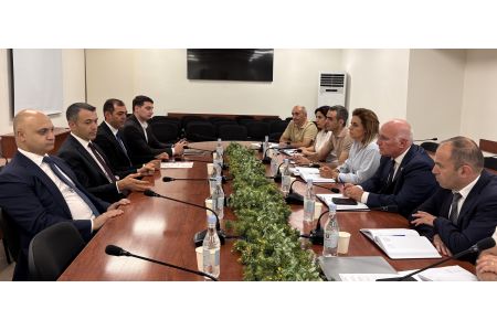
 The Armenian Minister of Justice and the EU Ambassador discussed visa liberalization issues for Yerevan.
 Azerbaijan`s aggressive plans against Armenia became possible in wake of Pashinyan`s decisions on Artsakh - expert
 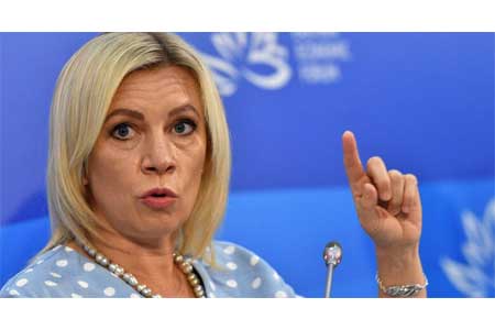 Zakharova: Russia sent a note of protest to Armenia over the act of vandalism at the "Mother Armenia" memorial in Gyumri