


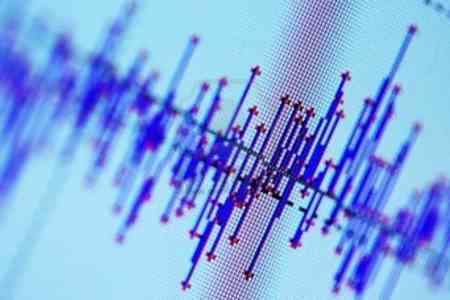
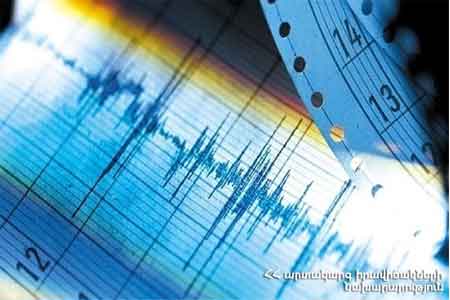
ArmInfo. The seismological network of the territorial service of seismic protection of the Ministry of Internal Affairs of Armenia on December 21 at 03:01 local time (at 23:01 on December 20 GMT), recorded an earthquake with a magnitude of 4.5, 30 km south of the occupied Artsakh Karvachar.
According to the department, the earthquake center was at a depth of 10 km. The geographic coordinates are 39?83? north latitude and 46.04? east longitude. At the epicenter, the strength of the tremors was 6 points.
The earthquake was felt in the city of Jermuk with a magnitude of 4-5 points, in a number of settlements in Vayots Dzor - with a magnitude of 2-4 points, and in a number of settlements in Syunik - with a magnitude of 2-3 points.


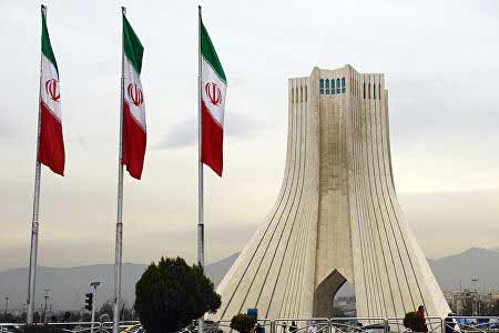


 US-Iranian memorandum more beneficial for Iran from political and economic perspective - expert
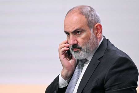
  Political analyst: While Pashinyan pledges peace with Azerbaijan, Baku continues promoting the "Western Azerbaijan" project
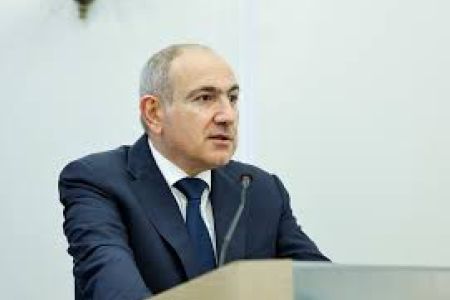
 Political analyst: In light of new realities, Yerevan may propose advancing peace process with Baku without constitutional referendum
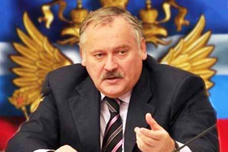
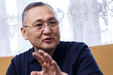
 Present-day geopolitical competition shifts from territorial control to infrastructure flows
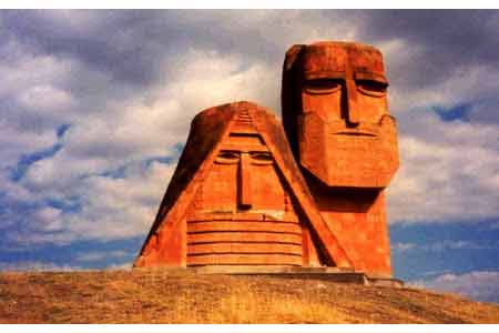
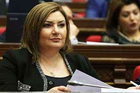
 Artsakh`s Cultural Heritage Ombudsman called on Moscow to respond to destruction of WWII monuments by Azerbaijan in occupied NKR
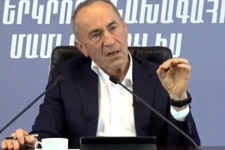
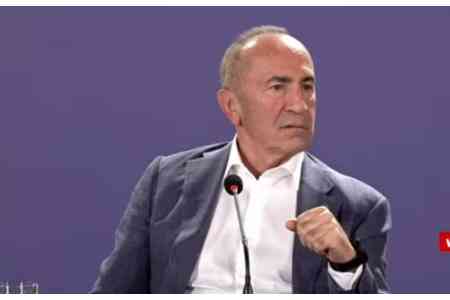
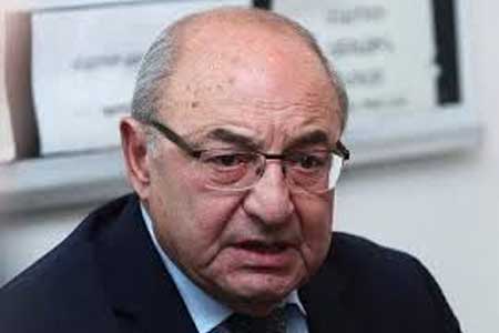
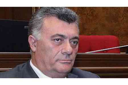
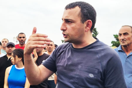
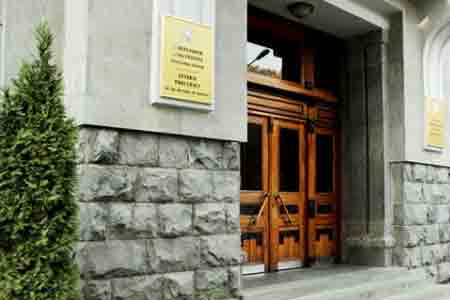 Prosecutor General`s Office petitions Central Electoral Commission for criminal prosecution of Robert Kocharyan
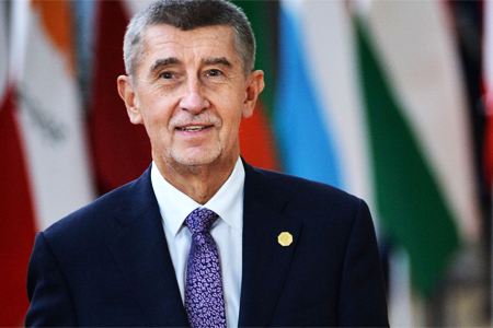
 Dutch Prime Minister expresses his support for Armenia`s democratic reform and economic diversification agenda
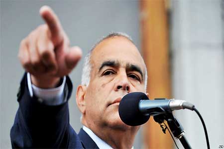 Heritage: It`s time for Armenia`s opposition to present people with legitimate alternative to power
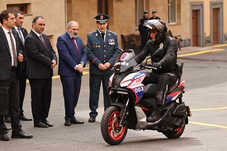
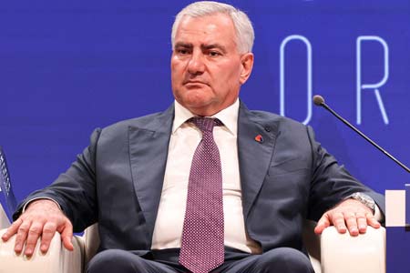
 RA Security Council Sec, Assistant to President of Azerbaijan hold negotiations in Dilijan
 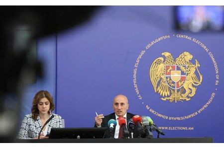 CEC Neutralizes PAP: Three Political Forces to Enter Armenian Parliament Following Election Vote
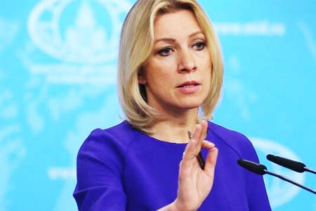 Elections in Armenia were accompanied by unprecedented pressure on opposition, RF MFA spokesperson claims
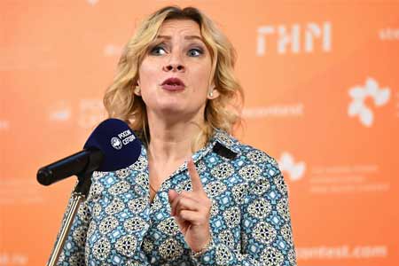
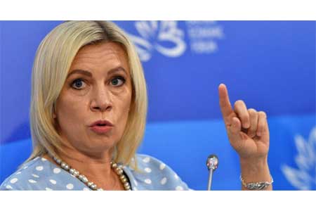
 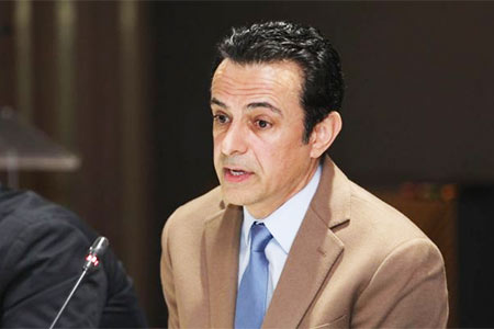 Expert: Even OSCE observers recorded numerous violations during elections in Armenia
  Moscow to await official results of Armenian elections - Peskov
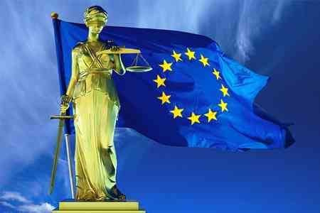
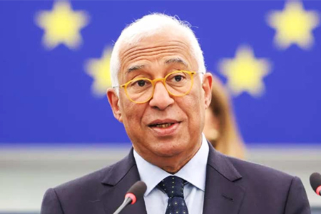 Antonio Costa: EU to deepen its partnership with Armenia, expanding cooperation in energy, trade, and digitalization
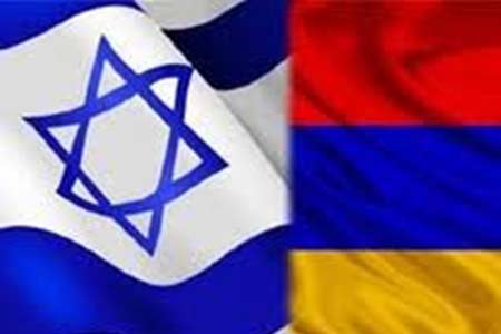 Israeli MFA congratulates Pashinyan
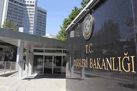 Turkish MFA comments on results of Armenian elections
  Zakharova: International observers cannot ignore `flagrant violations` in Armenian elections