


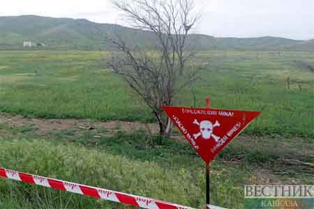
ArmInfo.The minefield maps provided by Armenia are inaccurate, the Azerbaijan National Agency for Mine Action (ANAMA) reported.
Armenia's most recent submissions continue to display this information incorrectly and incompletely.
"After analyzing and processing these forms, it became clear that the information did not correspond to the actual minefields, rendering the coordinates of the reference sites erroneous and ineffectual," the statement reads.
"No information is now [available] on the former line of contact that runs through the Khojavand, Tartar, and Goranboy districts or about the regions mined by Armenian armed units during their November 2020 withdrawal," the statement reads.
The ANAMA recalled that Armenia's data accuracy regarding minefields laid in the Aghdam, Fuzuli, Jabrayil, and Zangilan regions in 2021 was reported at 25%.
"Mine accident statistics demonstrate widespread contamination not only along the previous line of contact but also in populated areas, farmlands, riverbanks, forests, and cemeteries. Since the Second Karabakh War, 247 out of 345 mine victims have been injured or killed in incidents that occurred outside the previous line of contact," ANAMA said.
The ministry noted that widespread mining of civilian territories is a crime against humanity and a serious violation of international law.


 Children from the regions of Armenia provide the local IT community with the largest library of cognitive biases
 Russian political scientist on Aliyev`s visit to Beijing: The Caucasus becoming much closer to China
 Iskandaryan: Any region seems larger and more important from the inside than from the outside
 Orientalist: Detention of Istanbul`s opposition mayor is Turkish president`s election ploy
  Issue of so-called `Zangezur corridor` will not be resolved in Armenia - expert
 Armenian Court of Appeal upholds Samvel Karapetyan`s arrest
 No one can deal with issue of Ruben Vardanyan`s release - Andrey Movchan
 IDBank Representative Joins the Editorial Board of Trade Finance Global
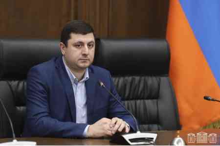 Russian-Azerbaijani confrontation must not reach Armenia`s borders - MP
 Catholicos of All Armenians "in Pashinyan`s sights"
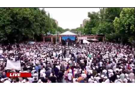
 Protesters outside Armenian government building demand prosecution of Pashinyan for his statements against AAC
 Catholicos: With Turkey`s military support, Azerbaijan committed a crime by forcibly occupying Artsakh
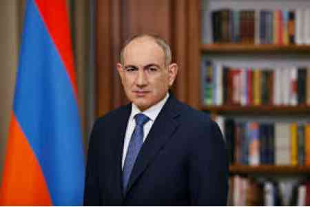 Armenia`s premier insults clergyman on Facebook
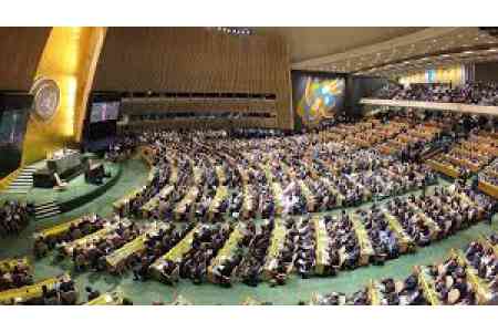 Armenia votes for anti-Russian resolution adopted by U.N. General Assembly
 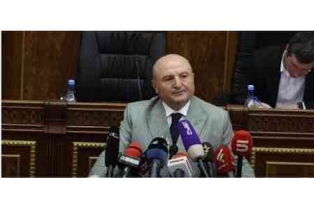 Vardan Ghukasyan elected Gyumri mayor
  Armenian premier`s actions were aimed at surrendering Artsakh to Azerbaijan - MP
 Armenia`s premier sacrificed Artsakh to change Armenia`s strategic orientation - politician
  Prosecutor`s Office initiated a criminal case against Gyumri mayoral candidate Vardan Ghukasyan
 Democratic Alternative party condemns statement by ruling party`s Gyumri mayoral candidate about Artsakh
 Sixty U.S. representatives call on Secretary Rubio to end military aid to Azerbaijan