
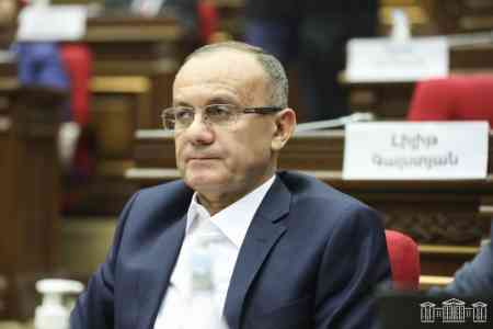
ArmInfo. The demarcation of the borders between Armenia and Azerbaijan cannot be carried out on the basis of maps from 1975, since the boundaries indicated at that time were not state borders, believes Mesrop Arakelyan, ex-adviser to the Prime Minister of the Republic of Armenia, representative of the Country for Life party.
Araklyan argues for the above by the fact that at that time Armenia and Azerbaijan were not subjects of international law, and therefore could not have state borders.
However, according to the politician, this does not mean that there has never been a state border between Armenia and Azerbaijan.
"From November 1920 to March 1922, Armenia and Azerbaijan were de jure independent states from the point of view of international law. Only in March 1922 was the Transcaucasian Soviet Federative Socialist Republic formed, to which Armenia joined. Moreover, the USSR was formed later, only in December 1922," the politician recalled.
As a result, he continued, in 1922 Armenia and Azerbaijan had a state border from the point of view of international law, according to which they joined the Transcaucasian Soviet Federative Socialist Republic, and then the USSR.
"Consequently, the basis for delimiting the borders of Armenia and Azerbaijan should be taken exclusively from the maps of the beginning of 1922, where Armenia and Azerbaijan were independent states with a state border," concluded Arakelyan.
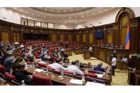
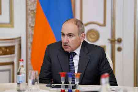
On October 17 in Strasbourg, Prime Minister of Armenia Nikol Pashinyan once again stated that Yerevan is ready to begin demarcation and delimitation of borders with Azerbaijan based on the latest maps of the USSR General Staff (approximately maps of 1975), which also implies the transfer to Azerbaijan a number of Armenian villages in the Tavush and Ararat regions.


 Children from the regions of Armenia provide the local IT community with the largest library of cognitive biases
 Russian political scientist on Aliyev`s visit to Beijing: The Caucasus becoming much closer to China
 Iskandaryan: Any region seems larger and more important from the inside than from the outside
 Orientalist: Detention of Istanbul`s opposition mayor is Turkish president`s election ploy
  Issue of so-called `Zangezur corridor` will not be resolved in Armenia - expert
 No one can deal with issue of Ruben Vardanyan`s release - Andrey Movchan
 IDBank Representative Joins the Editorial Board of Trade Finance Global
 Russian-Azerbaijani confrontation must not reach Armenia`s borders - MP
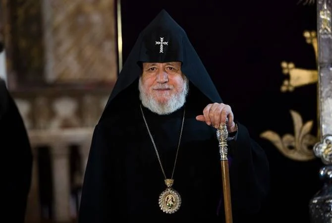 Catholicos of All Armenians "in Pashinyan`s sights"
 Protesters outside Armenian government building demand prosecution of Pashinyan for his statements against AAC
 Catholicos: With Turkey`s military support, Azerbaijan committed a crime by forcibly occupying Artsakh
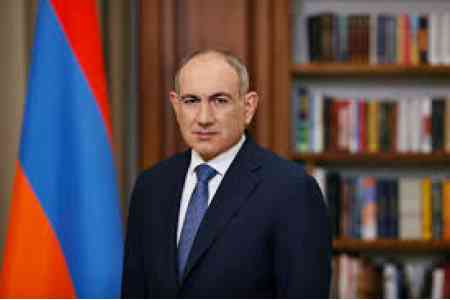 Armenia`s premier insults clergyman on Facebook
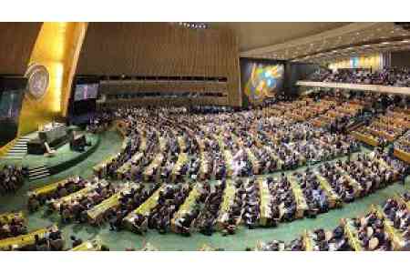 Armenia votes for anti-Russian resolution adopted by U.N. General Assembly
  Vardan Ghukasyan elected Gyumri mayor
  Armenian premier`s actions were aimed at surrendering Artsakh to Azerbaijan - MP
 Armenia`s premier sacrificed Artsakh to change Armenia`s strategic orientation - politician
  Prosecutor`s Office initiated a criminal case against Gyumri mayoral candidate Vardan Ghukasyan
 Democratic Alternative party condemns statement by ruling party`s Gyumri mayoral candidate about Artsakh
 Sixty U.S. representatives call on Secretary Rubio to end military aid to Azerbaijan
  Political scientist: After 31 years, Artsakh is recognized as part of Azerbaijan by Ter-Petrosyan`s political successor