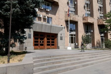
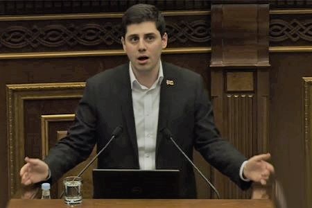
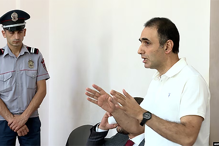
ArmInfo. The Goris-Kapan road is not included in the borders of Armenia. Vahagn Aleksanyan, a MP from the ruling Civil Contract party, announced this during a briefing on October 10. At the same time, he indicated that this section is not included in the borders of Armenia, according to the law "On the administrative-territorial division of the RA", adopted by the Parliament of the country in 2010.
In response to the journalist's remark about why this road was part of the territory of Armenia for 30 years, the MP noted that this was ensured due to the victory in the First Artsakh War.
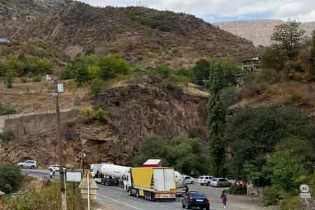
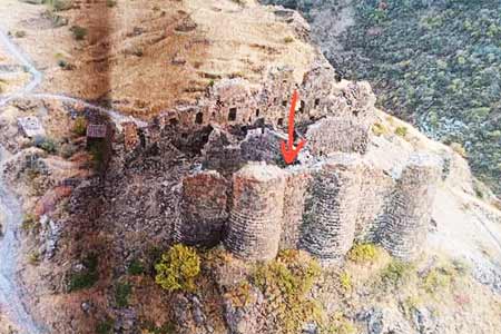
It should be noted that at the beginning of November 2021, the government of the Republic of Armenia announced that 21 km of the Goris-Kapan interstate road had been placed under the control of the Azerbaijani Armed Forces. The Azerbaijani side has established checkpoints in these areas and is now demanding tax payments. As a result of these actions, a number of Armenian villages were under blockade. Due to the situation, the Government initiated the construction of a number of alternative roads. At a briefing in November 2021, the Minister of Territorial Administration and Infrastructures of the Republic of Armenia Gnel Sanoyan stated that the construction of an alternative road does not mean that the Armenian authorities no longer pin their hopes on the 21-kilometer section of the Goris-Kapan road, which came under the control of Azerbaijan. He stressed that delimitation and demarcation will decide everything. <We will not give up this road, this road is our road, except for two sections that are disputed. That is, delimitation, demarcation will show whether this is true or not. There will be painful areas in this process or not, but that there is a need for clarification, I think you agree: It cannot be at the border all the time so that someone gets up and says - this is mine. This cannot go on indefinitely>, the minister said. It should be noted that the ex-Minister of Transport and Communications of Armenia, expert Henrik Kochinyan, answering the question about the construction of 7 alternative roads in the Syunik region of Armenia, in exchange for those that came under the control of Azerbaijan, stressed that he did not agree with the statements of the country's authorities that that part of the Goris-Kapan highway passes through Azerbaijani territory. He recalled that part of this road was being built back in the 1960s, and then they knew perfectly well where and what they were building.
<The Armenian government explains this by saying that according to the map, the road enters Azerbaijani territory in several places. However, I have a slightly different point of view on this. When in the 1960s of the last century the Council of Ministers of the Armenian SSR decided to build the Goris-Kapan road, did they not know how the border of Armenia runs? The Council of Ministers clearly knew this, since not a single illiterate person could be in its composition. They knew what they were building for. And they built it in order to interfere with Azerbaijani ambitions. Even then, the authorities of the Azerbaijan SSR wanted to build a network of roads along the left bank of the Araks, in order to then cut off Armenia from the southern borders in order to drive a wedge. The Armenian side did not want to pass through Nakhichevan, which is why the Goris- Kapan road was built then, just as the Meghri-Kajaran road was built at one time>, Kochinyan explained, while he wondered how the Armenian SSR could build a road on the territory of Azerbaijan, and then also serve it for decades.


 Political Scientist: As long as the opposition remains silent, Pashinyan can use Plan B and secure a constitutional majority
 US-Iranian memorandum more beneficial for Iran from political and economic perspective - expert
  Political analyst: While Pashinyan pledges peace with Azerbaijan, Baku continues promoting the "Western Azerbaijan" project
 Political analyst: In light of new realities, Yerevan may propose advancing peace process with Baku without constitutional referendum
 It`s time for South Caucasus countries to think of South Caucasus as single, unified region - RA premier
  Pashinyan: Armenia and Azerbaijan should leave each other alone
 Moscow sees situation with Armenia as attempt to attack Russia-involving integration associations - Russian presidential aid
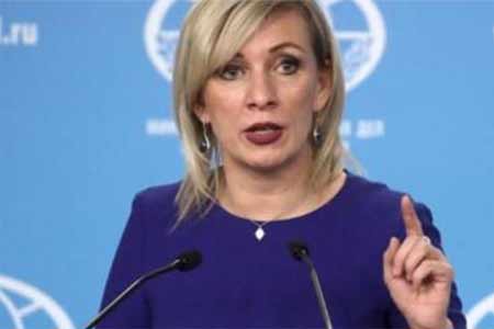
 Zakharova: Armenia views relations with Russia as tool for financially securing reorientation toward EU
 The Armenian Minister of Justice and the EU Ambassador discussed visa liberalization issues for Yerevan.
 Azerbaijan`s aggressive plans against Armenia became possible in wake of Pashinyan`s decisions on Artsakh - expert
  Zakharova: Russia sent a note of protest to Armenia over the act of vandalism at the "Mother Armenia" memorial in Gyumri
 Samvel Karapetyan proposes creating a post-election opposition coalition
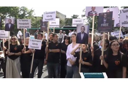
 Artsakh`s Cultural Heritage Ombudsman called on Moscow to respond to destruction of WWII monuments by Azerbaijan in occupied NKR
 Prosecutor General`s Office petitions Central Electoral Commission for criminal prosecution of Robert Kocharyan
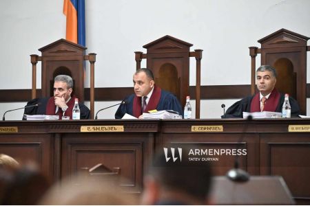
 Dutch Prime Minister expresses his support for Armenia`s democratic reform and economic diversification agenda
 Heritage: It`s time for Armenia`s opposition to present people with legitimate alternative to power
 RA Security Council Sec, Assistant to President of Azerbaijan hold negotiations in Dilijan
 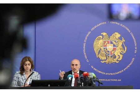 CEC Neutralizes PAP: Three Political Forces to Enter Armenian Parliament Following Election Vote