


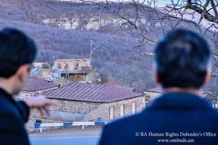
ArmInfo.Stepa Movsisyan, a resident of the village of Shurnukh in the Syunik region of Armenia, owned a livestock farm in the immediate vicinity of his home that was split into two parts Azerbaijani and Armenian by using a GPS [Global Positioning System] or Google Map. The office of the Human Rights Defender reports.
Moreover, as noted in the message, state registration of property rights to both a house and a livestock building are confirmed by certificates of the RA Real Estate Cadastre Committee. "We tried several versions of Google Maps around this house, each of which showed a different result, including in the area of Stepa Movsisyan's house and the village of Shurnukh, as an integral part of the territory of Republic of Armenia. Unfortunately, there are many such stories today. Such concrete examples prove that due to the current approaches to border demarcation, mechanical use of GPS or Google Map, and, especially, in relation to property and a number of other rights, the rights of residents of the border territories of the Republic of Armenia have been grossly violated. People cannot use their property even having property title certificates. Therefore, such mechanical approaches and processes at such a speed in determining the state borders of the Republic of Armenia should simply be excluded. We need professional approaches, results of scientific research, detailed work on the spot, an appropriate legal framework, etc. ", the Ombudsman's office said in a statement.


 Politician: Statement by Armenia`s third president may deprive opposition of only political basis for ousting Pashinyan
 Political scientist: Real recount will deprive Pashinyan of any constitutional majority
 Elections in Armenia were accompanied by unprecedented pressure on opposition, RF MFA spokesperson claims
  Expert: Even OSCE observers recorded numerous violations during elections in Armenia
  Moscow to await official results of Armenian elections - Peskov
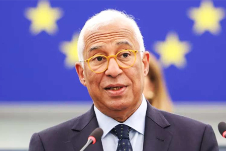 Antonio Costa: EU to deepen its partnership with Armenia, expanding cooperation in energy, trade, and digitalization
 Israeli MFA congratulates Pashinyan
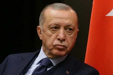
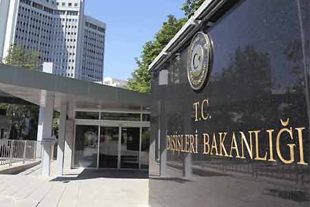 Turkish MFA comments on results of Armenian elections
 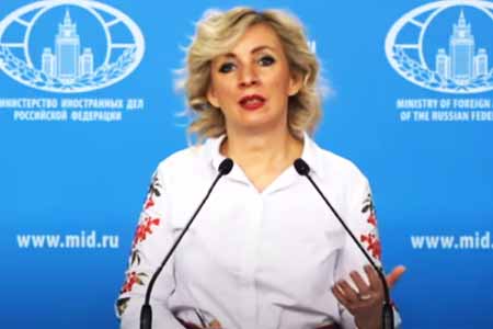 Zakharova: International observers cannot ignore `flagrant violations` in Armenian elections
 Russian Senator: Opposition complaints regarding election violations by ruling party remain unanswered
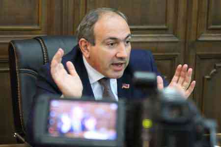
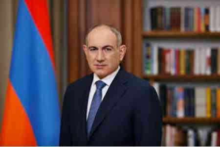 RA premier receiving congratulations on his victory in parliamentary elections
 Head of IPA CIS Council Secretariat: Extremely difficult atmosphere during parliamentary elections campaign in Armenia accompanied by mass arrests
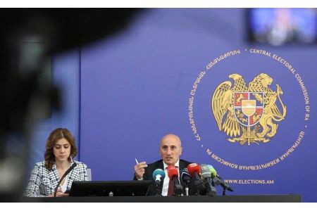
 Pashinyan`s party leads with 51.13% based on vote counts from 533 polling stations