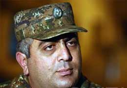
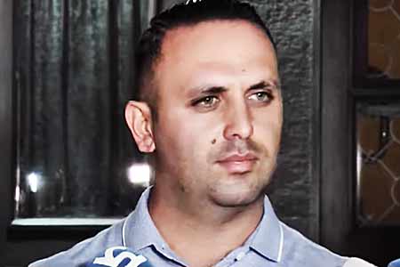
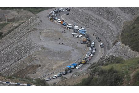
ArmInfo. The situation in Nakhchivan is not static, it is constantly changing. This was on July 3 at the discussions "Silent position warriors, hardening on the Armenian- Azerbaijani border: a creeping war or a repositioning of positions," spokesman of the Armenian Defense Ministry Artsrun Hovhannisyan stated.
"There is no border in Nakhijevan, there are positions that often change their location, moreover, it is more often done from the Armenian side than from Azerbaijan, and I declare with full responsibility that in Nakhijevan direction, including on the highway Yerevan "Goris, there is not a millimeter of a section of the road that would be under direct fire from the enemy, including large-caliber small arms." The settlements are also inaccessible to them, "Hovhannisyan said.
At the same time, he noted that the repositioning of positions does not yet mean the possibility of providing it with the proper infrastructure. According to him, several new positions that were set by the enemy are completely deprived of the possibility of laying a road to them, and they are more vulnerable than before.
In his turn, the expert on information security Karen Vartanesyan stated that the main movement of positions from the Armenian side was recorded in April of this year, and with the Azerbaijani location, including those announced by the Azerbaijani propaganda, during the month of May. According to him, this is evidenced by data received from satellites. Earlier, Azerbaijani media spread information that allegedly at the end of May the village of Gunnut and the important strategic heights around it were "liberated from occupation and local residents returned to their native places and visited the graves of deceased relatives." "The national army liberated the mountains of Hunut, Gizilgaya and Mekhridag, the hill of Agbulag from the occupation, the village of Arpa in Daralayaz was liberated from control of the territory, in total about 11 thousand hectares are taken under control, over 8 thousand hectares of which are suitable for farming at an altitude of 1,683 meters above sea level and allowing to control the village of Gunnut in the Sharur region of the Gyzylgaya Upland lies in the fact that it allows our army to control the Yerevan-Yeghegnadzor-Goris-Lachin- In order to protect the territory, a new road with a length of 50 km has been completed, and roads with a total length of over 50 km have been reconstructed, "the Azerbaijani media reported.
Meanwhile, according to Artsrun Hovhannisyan, press secretary of the Defense Ministry of Armenia, on June 6 and 7 this year, the Azerbaijani side appealed to the command of the Armed Forces, with a request to allow some of its citizens to approach the cemetery located in the south of the ruins of the village of Gyunnut. "This is the first time that the Azeri side has requested such a request on this site: the Armenian side, while remaining committed to humanitarian norms and always taking steps to reduce tension, agreed and allowed the peaceful residents to approach the cemetery for a short period," Hovhannisyan said.


 South Caucasus is entering a new phase of turbulence - ex-official
  Expert: Azerbaijan`s political leadership states `occupation of Armenia is their new national goal`
  Expert: Armenian society falls into security trap of totalitarianism
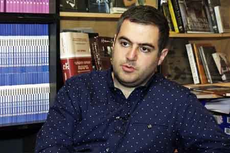 Expert: Pashinyan`s visit to Russia creates prerequisites for restoring dialogue, but thaw in relations is more symbolic
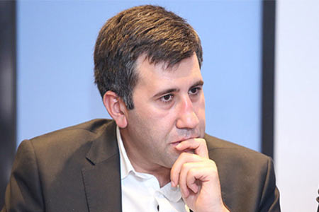 Human rights activist Ruben Melikyan dismissed from YSU
 Pashinyan removed from INNOPROM guest list
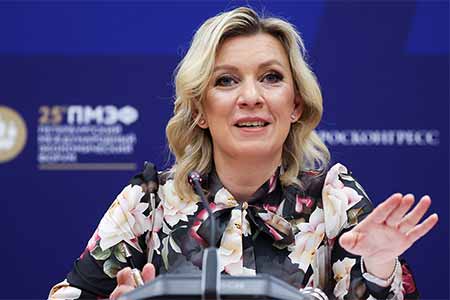
 Zakharova: Armenia`s pro-EU pivot poses economic security risks to EAEU member states
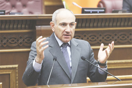 It`s time for South Caucasus countries to think of South Caucasus as single, unified region - RA premier
  Pashinyan: Armenia and Azerbaijan should leave each other alone
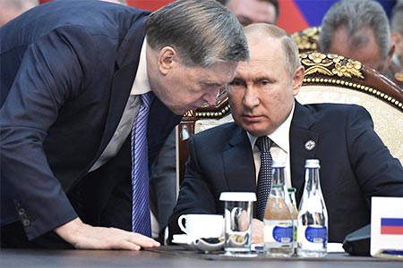 Moscow sees situation with Armenia as attempt to attack Russia-involving integration associations - Russian presidential aid
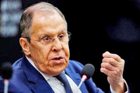
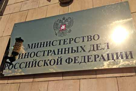
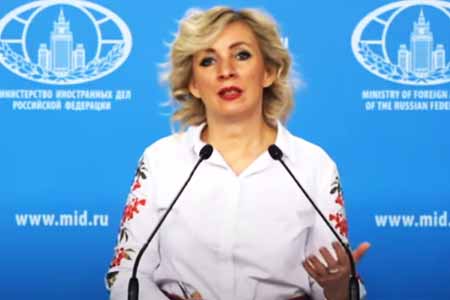 Zakharova: Armenia views relations with Russia as tool for financially securing reorientation toward EU
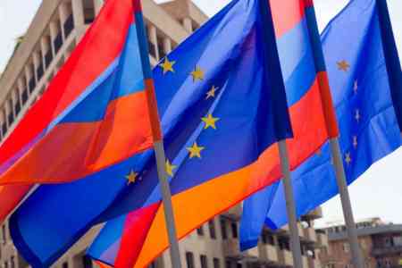 The Armenian Minister of Justice and the EU Ambassador discussed visa liberalization issues for Yerevan.
 Azerbaijan`s aggressive plans against Armenia became possible in wake of Pashinyan`s decisions on Artsakh - expert
 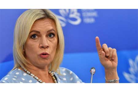 Zakharova: Russia sent a note of protest to Armenia over the act of vandalism at the "Mother Armenia" memorial in Gyumri
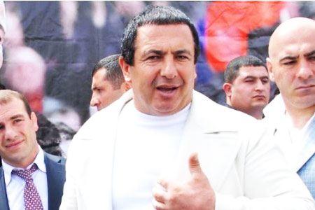
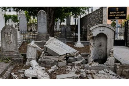
 Samvel Karapetyan proposes creating a post-election opposition coalition
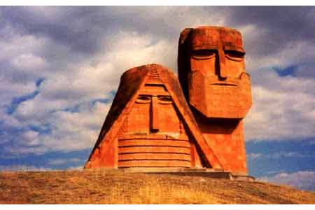
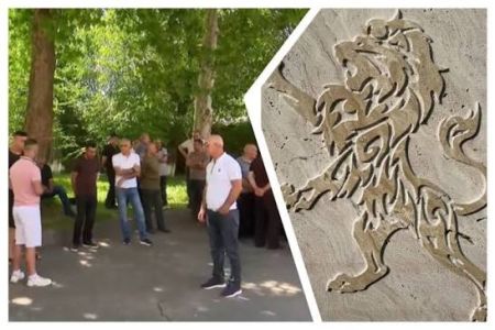
 Artsakh`s Cultural Heritage Ombudsman called on Moscow to respond to destruction of WWII monuments by Azerbaijan in occupied NKR
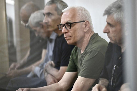
 Prosecutor General`s Office petitions Central Electoral Commission for criminal prosecution of Robert Kocharyan
 Dutch Prime Minister expresses his support for Armenia`s democratic reform and economic diversification agenda
 Heritage: It`s time for Armenia`s opposition to present people with legitimate alternative to power