

ArmInfo. The map of Armenia cannot be considered complete as long as the Azerbaijani army is on our sovereign territory. This is what Marianna Gahramanyan, a member of the National Assembly of the Republic of Armenia from the opposition Strong Armenia faction, writes on her Facebook page.
"Let us recall the events not through the interpretations of the Civil Contract party, but in chronological order and based on the actual situation. December 2020, Syunik. Just one month after the catastrophic 44-day war, the Armenian armed forces withdrew from a number of positions in Syunik, something that was not stipulated by the trilateral statement. The disposition of forces changed, the security situation changed, and the Azerbaijani army appeared in the immediate vicinity of Armenian settlements and strategic roads," the MP noted.
She also recalled the events of May 12, 2021, near the settlements of Sev Lich, Verin Shorzha and Kut.
The Azerbaijani armed forces invaded the sovereign territory of Armenia. An advance in the direction of Syunik and Gegharkunik was recorded, and Azerbaijan seized strategic heights. "According to open sources, the area occupied by Azerbaijan amounted to about 41 sq. km. Pashinyan admitted that he had ordered the Armenian side not to fire, although the attack had been announced on Azerbaijani social media about two weeks earlier. Once again, the loss of positions vital to our security did not bring the country to its senses. Autumn 2021, Goris-Kapan. A 21-kilometer section of a strategically important interstate road came under Azerbaijan’s control. The Azerbaijani side began carrying out border and customs controls on this section of the road. The Shurnukh section also remained under Azerbaijan’s control. November 15, 2021, Kapan-Chakate. The Azerbaijani side established a checkpoint on the Kapan-Chakate road under its control. For the residents of six villages, the short and convenient road became a serious security problem. People were forced to use much longer and more difficult alternative routes.
November 14-16, 2021, Ishkhanasar, Syunik. As a result of the Azerbaijani attack, the Armenian side lost control of important positions. March 2022, Nerkin Khand. Azerbaijani attack and occupation in the direction of the village. September 13-14, 2022, Syunik, Gegharkunik, Vayots Dzor. Azerbaijan launched a large-scale military offensive against the sovereign territory of Armenia in the directions of Syunik, Gegharkunik and Vayots Dzor. Azerbaijani forces seized new strategic positions and heights, including in the direction of Jermuk. March 29-30, 2023, Azerbaijani forces approached the borders of the Tegh community in Goris. Armenian lands and pastures in the border areas came under Azerbaijan’s control. 2023, Sotk. In spring 2023, open mining by the Armenian side at the Sotk mine was halted due to Azerbaijani shelling; subsequently, according to Google Maps data, the border was changed in Azerbaijan’s favor. 2024, April-May, Tavush. Under the pretext of the threat of war and the demarcation process, the Armenian side withdrew its forces from strategic positions. Azerbaijan gained about 6.5 sq. km of territory. All this is the result of a continuous policy of concessions. And these facts are proof of the incompleteness that you cannot deny, and this is the result of manipulation. I insist that the map of Armenia cannot be considered complete until the Azerbaijani armed forces withdraw from Armenia’s sovereign territory, from all the places where they are right now, at this moment," the opposition politician noted, adding that the data are based on open sources and media publications. According to a CivilNet investigation, at least 241.4 sq. km of Armenia’s sovereign territory is under the control of the Azerbaijani armed forces.






















 A security sphere expert commented on a video about Papikyan`s achievements during his five years as Defense Minister
 The future of the South Caucasus was discussed in the capital of a country whose problem remains unresolved — Davtyan
 An Armenian orientalist presented possible US actions against Iran
 Expert: Official Yerevan should not base its calculations in relations with Ankara on the "crack" in the Turkish-Azerbaijani alliance
 Armenia and Germany held consultations on defense issues
 Armenia wants to host COP-34 in 2029
 Speaker: Armenia has never approached the CSTO regarding the Karabakh issue
 Lavrov: Armenia will not be expelled from the CSTO
 Drmeyan: The ECHR rejected Azerbaijan`s appeal in the case of Artsakh Defense Army Major Hayk Toroyan
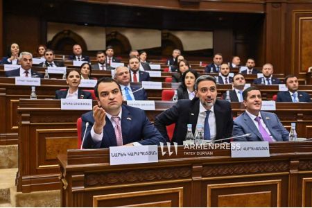 "Strong Armenia": The brawl in parliament was staged to distract public attention from Pashinyan`s failed foreign policy
 Zakharova commented on the scandalous epithets of the governor of Armenia`s Shirak region about "Ivanov"
 Nikolai Bordyuzha proposed excluding Armenia from the CSTO.
 The participation of Artsakh ensembles in an international festival in Vienna was cancelled following the intervention of several foreign embassies
 Expert: It`s time for Armenia to move away from uncertainty and choose between West and East
 The Armenian Foreign Minister commented on the country`s return to work within the CSTO.
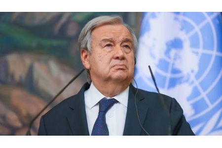 The Artsakh Public Council expressed outrage at the UN Secretary-General`s behavior
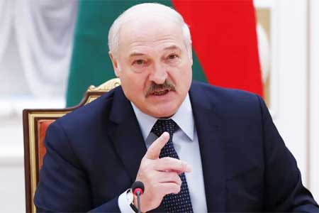 Lukashenko called for Armenia to assume the CIS presidency in 2029
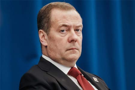 Dmitry Medvedev predicted a Ukrainian-like fate for Armenia amid the country`s shift in foreign policy
 Russian Security Council: In Armenia, they want to force Russian asset owners to dispose of their assets