
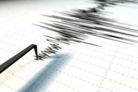
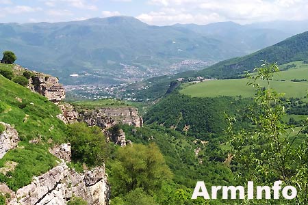
ArmInfo. Near the Armenian city of Chambarak the day before the earthquake of magnitude 2.8.As the press service of the Ministry of Emergency Situations of the Republic of Armenia told ArmInfo, tremors were recorded by the Armenian seismic services at 10:18 local time (06:18 GMT) on August 20 at 15 km from the city of Chambarak, the earthquake coordinates - 40.460 degrees north,45.350 eastern longitude, the focus was at a depth of 10 km.
Underground tremors in the epicenter amounted to 3-4 points.
ArmInfo. Near the Armenian city of Chambarak the day before the earthquake of magnitude 2.8.As the press service of the Ministry of Emergency Situations of the Republic of Armenia told ArmInfo, tremors were recorded by the Armenian seismic services at 10:18 local time (06:18 GMT) on August 20 at 15 km from the city of Chambarak, the earthquake coordinates - 40.460 degrees north,45.350 eastern longitude, the focus was at a depth of 10 km.
ArmInfo. On the territory of Armenia there was a 3-point earthquake. According to the press service of the Ministry of Emergency Situations of the Republic, on August 16, at 05:07 local time (01:07 GMT), the earthquake with a magnitude of 2.5 has been recorded by the Seismic Protection Service of the Ministry of Emergencies.
ArmInfo.On the territory of Armenia on August 15 in the morning was the second earthquake was registered.
ArmInfo.The earthquake of magnitude 2.8 occurred on August 15 at 07:51 in the north of Armenia, 8 km east of the village of Amasia.
ArmInfo.In Armenia, there was a 4-point earthquake. According to the press service of the Ministry of Emergency Situations of the Republic, on July 4 at 10:21 local time (at 06:21 GMT), the earthquake with a magnitude of 3.5 was recorded by the Ministry of Emergencies seismic protection service. "The geographic coordinates of the earthquake are 40.89 degrees north latitude and 43.81 degrees east longitude (11 kilometers northwest of the city of Gyumri), the hypocenter of the earthquake was at a depth of 10 kilometers, the strength of the earthquakes in the epicenter was 4 to 5 points.
ArmInfo. At 10:42 pm local time on June 29 (06:42 GMT), the EMERCOM seismic service registered an earthquake in the Armenian-Turkish border zone 15 kilometers north of the village of Aragatsavan. The press service of the Ministry of Emergency Situations of Armenia has informed ArmInfo about this.
ArmInfo. On June 15 at 13:34 local time (at 9:34 GMT) the seismic protection service of the Ministry of Emergency Situations of Armenia recorded an earthquake with geographic coordinates in the northern latitude of 40. 470 and longitude 44.720.


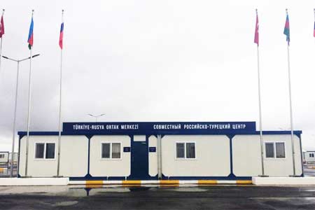


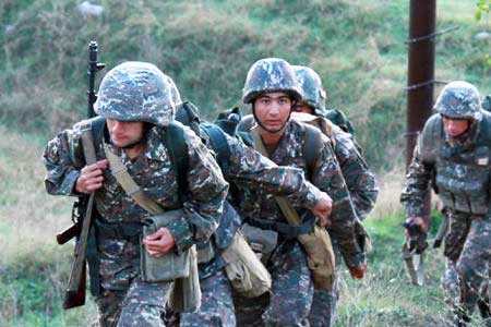


 Armenian general rules out any provocations on Armenian-Turkish border as long as Russian flag hoisted there
  Crossroads of Peace project divorced from reality
  Armenia could hardly join EU of recent years - Boris Navasardyan
 Armenian authorities` actions evidence of country`s movement to elimination of statehood - expert
  Tehran: foreign troops` presence in South Caucasus does not contribute to establishment of security, stability
 Lavrov: Unilateral concessions by Armenian authorities make Armenia`s borders undefined
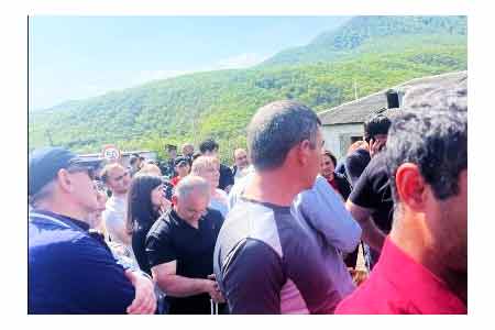
 Armenia`s premier meets with residents of Berkaber
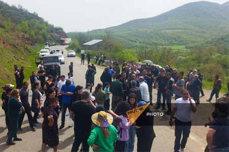
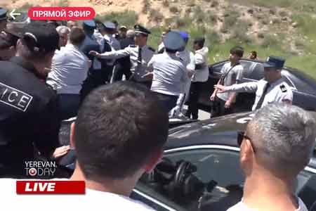
 Rally in name of Armenian statehood starts in Voskepar
  No return to historical Armenia idea! Pashinyan calls on
 Stark and unpleasant as it might be to the Washington establishment, that the best guarantors of Armenian security are Russia and Iran - The American Conservative
 Armenian authorities` policy could affect country`s regional, international prospects - Russian MP
 Armenia needs teams work of all active people - expert
 Moscow "testing" its relations with Yerevan
 Pashinyan: External forces also provoked main force organizing ethnic cleansing in Karabakh
 Our political force will follow path of institutional solutions - ex-mayor of Yerevan
  Large-scale events planned in April - Pashinyan
 Armenian people has to choose between war or premier`s resignation
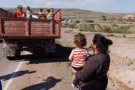 EU increases humanitarian aid to displaced Karabakh Armenians with EUR 5.5 million